https://www.dps.ac.in/vtour/index.html
Benefits of 360 Virtual tour-
AltraView360 Virtual tour Technologies is one of leading provider of next generation Geospatial services, Digital content creation and enterprises IT solutions. We strongly believes, that Virtual reality, Augmented reality, GIS and Artificial Intelligence can revolutionise next IT revolution.
Our Team and Associates works together that discovers new ways to implement technology for betterment of society and the need of our clients. Strong understanding about graphics and design aesthetics, help developing application which have strong UI/UX and easy to use.
Our geospatial technical experts develop and groom client needs to the level of complete satisfaction. Our experts have handful of experience on navigational 3D mapping, parcel mapping, image and interpretation projects. We believe that geography & GIS is the heart of a more resilient and sustainable future. We specialize in delivering you a high quality of service with 100% Satisfaction.
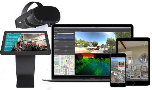
Any Smart Device Open of 360 Virtual tour
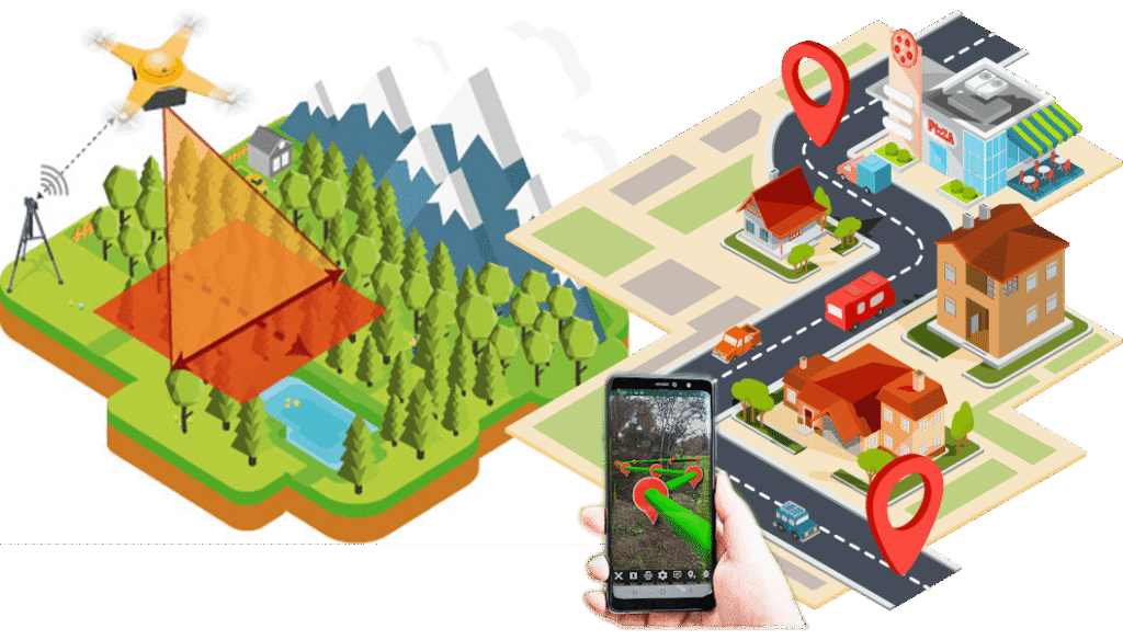
GIS Survey, Digitalization & Cloud base Processing
We provide the most refined and seasoned GIS production facilities and are equipped and experienced to serve our clients with the widest range of services. We aim to provide the best streamlined and approach driven service that has the advantage of latest technologies and high levels of automation. We provide highly accurate and cost effective GIS services to our customers.
Golden Globe offer processing of high precision LiDAR datasets and deliver the outputs in computer-aided design (CAD) and geographic information system (GIS) formats. We uses LiDAR Image Highlighting Algorithm (or LIHA), that allows to highlight any subtle topographic changes present in a ground LiDAR image. We also have extensive experience in interpretation and processing of airborne and satellite imagery and have worked with most of the commercially available satellite data products.
Our high performing professionals use AI-enabled tools and Advanced GPS Hardware & High-End Telematics Technologies to create bounding boxes and segmentation that accelerate training data requirements with highest quality, accuracy and scalability.
Our GIS offering help in Decision support system at planning and execution level. Augmented reality and Virtual reality (AR/VR/MR/XR) will be add further representation and real-time data in it.